
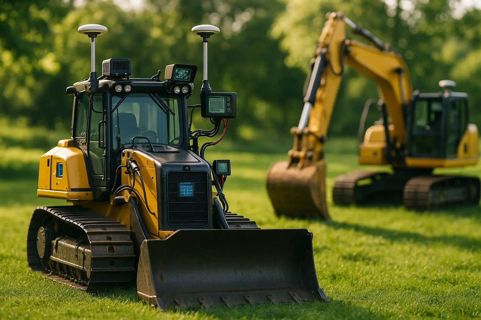
Twenty years ago, grading a slope for a new estate driveway meant an operator eyeballing a string line and adjusting by feel, run after run, until the surface was level enough. Today, the same job on a growing number of sites is guided by a satellite signal accurate to within a couple of centimeters, with the machine correcting its own blade position faster than a human operator could react. That shift, from feel to feedback loop, is what autonomous guidance and navigation actually changed in landscaping construction.
Autonomous guidance and navigation systems use GPS positioning, LIDAR, and onboard sensors to let landscaping construction machinery, excavators, bulldozers, and graders, perform grading, trenching, and earthmoving tasks with reduced or no direct human control. Industry reporting describes these systems moving from limited pilot projects to more widespread on-site implementation through 2025, though full autonomy still typically operates within a defined, geo-fenced work area rather than across an entire unsupervised site.
- GPS-guided systems on commercial construction equipment now achieve accuracy in the range of a few centimeters under normal conditions.
- Retrofitted autonomy kits, such as those from Built Robotics, can add full autonomous operation to existing excavators and bulldozers without buying entirely new machines.
- Systems typically combine GPS, LIDAR, and 360-degree cameras to map terrain and detect nearby workers or obstacles in real time.
- A defined geo-fence, a virtual boundary the machine cannot cross, remains a standard safety feature limiting where autonomous operation is permitted.
How GPS and sensor data actually guide the machine
Autonomous guidance systems work by translating satellite signals into precise geographic coordinates, then generating a detailed digital map of the work site against which the machine’s position is continuously checked. The machinery follows this virtual map rather than a physical string line or an operator’s estimate, executing grading or excavation tasks with an accuracy that would be difficult to sustain manually over long shifts. Continuous data feedback lets the system adjust in real time as conditions change, correcting its path if the ground shifts or a new obstacle appears.
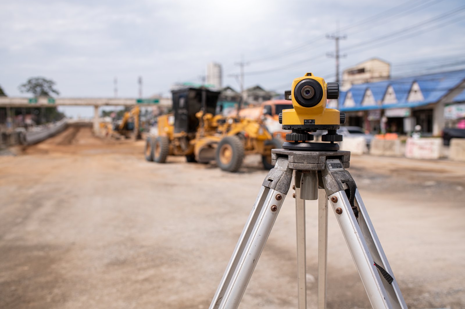
LIDAR adds a layer GPS alone cannot provide: a detailed three-dimensional read of the immediate surroundings, useful for detecting obstacles GPS coordinates would not flag on their own, a fallen branch, an unexpected pile of material, a person walking into the work zone. Ultrasonic sensors typically handle closer-range detection, rounding out a sensor stack built specifically so the machine reacts to what is actually in front of it, not only to where its map says it should be.
Which types of machinery have adopted this first
Excavators, bulldozers, and graders represent the three equipment categories where autonomous guidance has moved furthest. Excavators benefit from autonomy on repetitive digging and earthmoving tasks, where sensors and cameras let the machine repeat a precise motion far more consistently than manual operation over a full shift. Bulldozers use GPS mapping combined with real-time data to level terrain to a target grade, reducing the passes needed to reach spec. Graders, central to road and path construction within larger landscaping developments, use these same technologies to keep surfaces level and consistent across long stretches, directly cutting project timelines according to manufacturers marketing these systems.
Retrofitting existing equipment, rather than buying new autonomous machines outright, has become one of the more commercially significant developments in this space. Built Robotics markets an aftermarket kit that adds full autonomy to dozers and excavators a company already owns, which meaningfully lowers the entry cost compared to purchasing dedicated autonomous machinery from scratch. That said, the underlying investment, the sensor and control hardware itself, still runs into a substantial sum for a mid-size landscaping construction firm, and the technology also demands a workforce trained to oversee it, which is its own added cost beyond the hardware.
| Machine type | Primary autonomous task | Key sensor input |
|---|---|---|
| Excavator | Digging, earthmoving | GPS, cameras, ultrasonic sensors |
| Bulldozer | Terrain leveling | GPS mapping, real-time grade data |
| Grader | Surface leveling for roads and paths | GPS, LIDAR |
What autonomy still cannot do on a landscaping construction site
Full autonomy in this context means executing a pre-planned task within a bounded area, not making independent judgment calls about a site’s design or priorities. A machine following its digital map cannot decide to reroute a drainage line because a client changed their mind about a garden feature; that decision still requires a human designer and operator working together before the autonomous system executes the plan. This distinction matters because marketing language around “autonomous construction” sometimes implies a level of independent decision-making the current generation of equipment does not actually have.
Complex, less repetitive tasks remain further from full autonomy than grading and trenching. Machines built for something as intricate as tree and hedge trimming face a fundamentally harder sensing and manipulation problem than a bulldozer leveling flat ground, which is why autonomous machines built for complex tasks such as tree and hedge trimming remain at an earlier stage of development than the grading and earthmoving equipment covered here.
Vision-based precision is a shared foundation across several of these systems. The same camera and detection technology that lets an autonomous grader identify an obstacle on a work site also underlies tools built for a very different task, distinguishing a weed from a desired plant. Reviewing how computer vision is used for weed recognition and selective weeding shows how much of this sensing technology is shared across seemingly unrelated landscaping automation applications.
FAQ
Can existing landscaping equipment be retrofitted with autonomous guidance?
In many cases yes. Aftermarket kits from companies such as Built Robotics can add autonomous guidance to excavators and bulldozers a company already owns, avoiding the cost of buying new machines outright.
How accurate is GPS-guided construction machinery?
Commercial systems commonly achieve accuracy within a few centimeters under normal conditions, though performance can be affected by signal interference, dense tree cover, or complex terrain.
Does autonomous guidance eliminate the need for a human operator?
Not entirely. Most systems operate within a supervised, geo-fenced area with a human able to intervene, and planning and design decisions still require human input before the machine executes a task.
What safety features are built into these systems?
Standard features include obstacle detection through cameras and sensors, automatic shutdown in emergencies, and geo-fenced boundaries the machine is not permitted to cross.
Autonomous guidance and navigation have already reshaped grading, trenching, and earthmoving on landscaping construction sites large enough to justify the investment. The technology’s next frontier, extending this same level of independence to more delicate, less repetitive tasks, remains a genuinely open engineering question rather than a near-term certainty.
Published 29 July 2026.
Sources: Built Robotics press materials and technology documentation; Construction Dive reporting on autonomous construction machinery; industry analysis on GPS and LIDAR-guided equipment adoption trends through 2025.