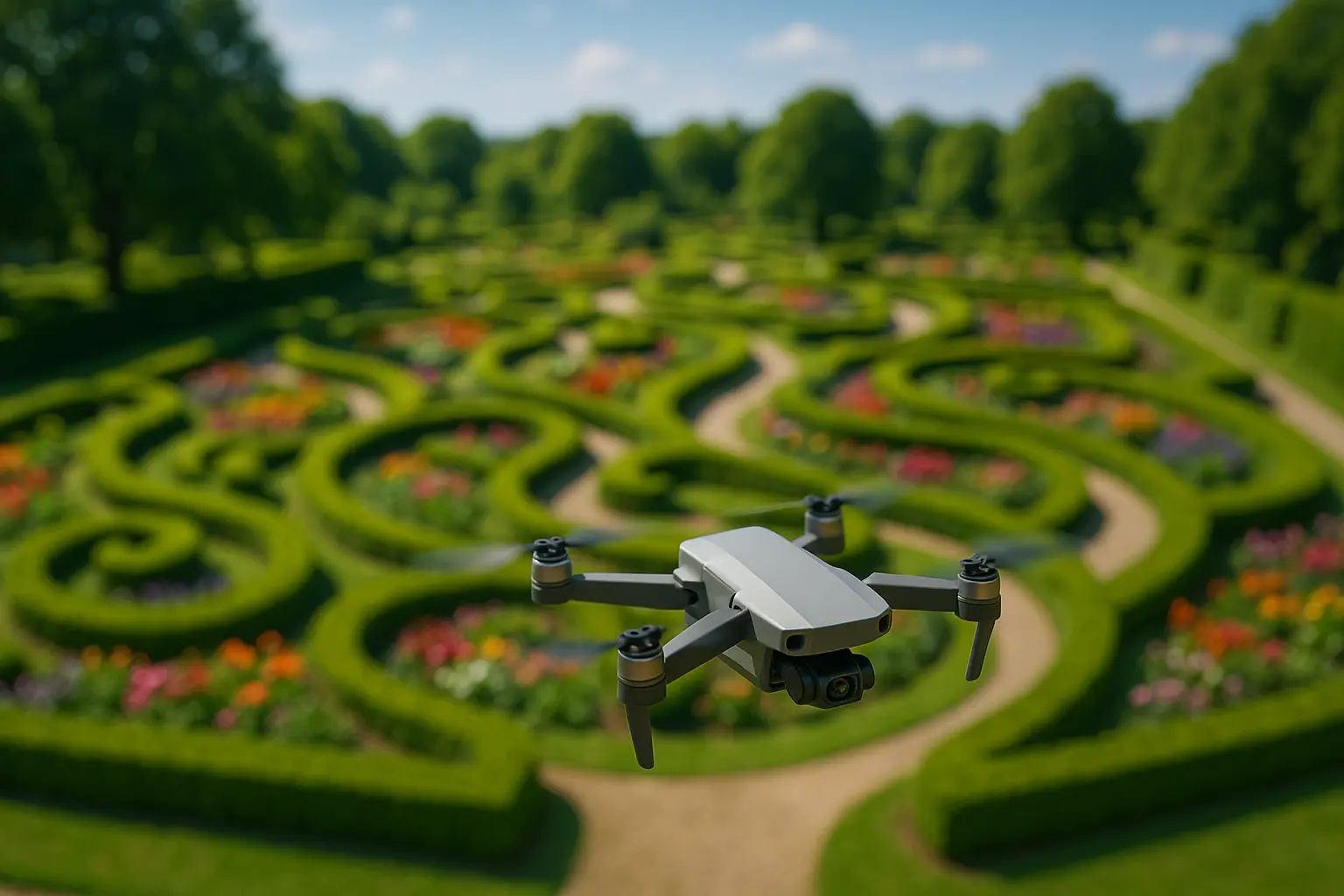
A crew used to spend half a day walking a five-acre estate with a clipboard just to catch drainage issues, dead patches, or an overgrown corner before they became expensive problems. Today, on many professional sites, that same survey happens from the air in under twenty minutes. Drones have moved from a novelty add-on for portfolio photography to a working inspection and mapping tool across landscaping and construction-adjacent projects.
Drones for garden inspection and mapping use onboard cameras, GPS, and increasingly multispectral or thermal sensors to capture aerial imagery of a site, which is then processed into topographical maps, 3D models, or plant-health overlays that would take a ground crew far longer to compile manually. The global agriculture drone market, which overlaps heavily with the sensor technology used in landscaping, was valued at several billion dollars in 2025 with growth forecasts in the range of 25% to 33% annually through the early 2030s across multiple market research firms.
In brief:
- Aerial surveys that once took a full day of manual walking can now be completed in a fraction of the time, with far more consistent coverage.
- Multispectral and thermal sensors allow drones to flag plant stress, waterlogging, or irrigation problems before they are visible to the naked eye at ground level.
- Drone-generated 3D models and topographical maps have become a standard input for irrigation and drainage planning on larger projects.
- Operators must comply with aviation regulations, which vary by country and typically require registration and line-of-sight operation.
What drones actually capture that a ground inspection misses
The direct advantage is a genuine bird’s-eye perspective on topography and vegetation patterns that is simply not visible from the ground, no matter how thorough the walk-through. Slope changes, drainage flow paths, and irregularities in plant density across a large site show up clearly in an aerial image in a way that requires piecing together dozens of ground-level observations to approximate.
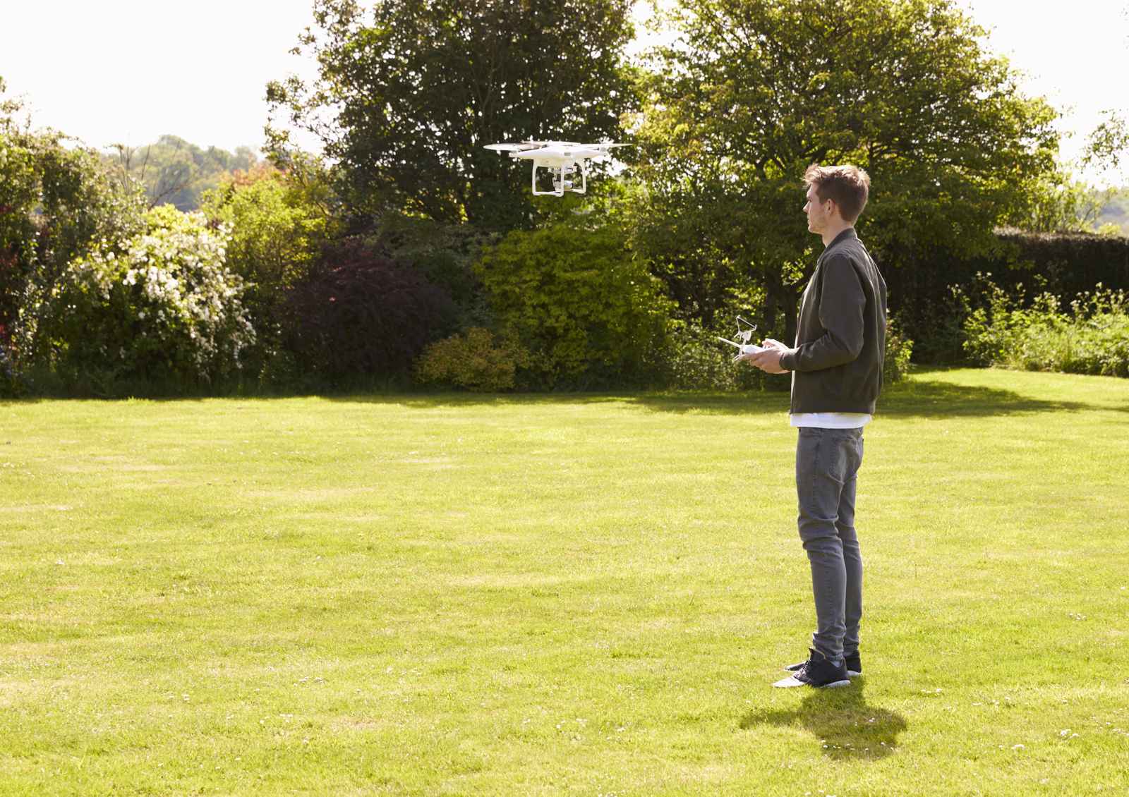
Multispectral sensors extend this further by capturing wavelengths of light outside human vision, which can reveal plant stress, such as early drought symptoms or nutrient deficiency, days or weeks before visible wilting or discoloration would alert a ground crew.
How aerial data speeds up site inspections and documentation
On construction-adjacent landscaping projects, drones let a project manager document progress consistently over time without repeated, time-consuming manual walk-throughs. Regular flights over the same site create a visual record useful for client presentations, dispute resolution, and verifying that work matches design specifications, all without requiring staff to physically access hazardous or hard-to-reach areas.
From aerial images to usable topographical maps
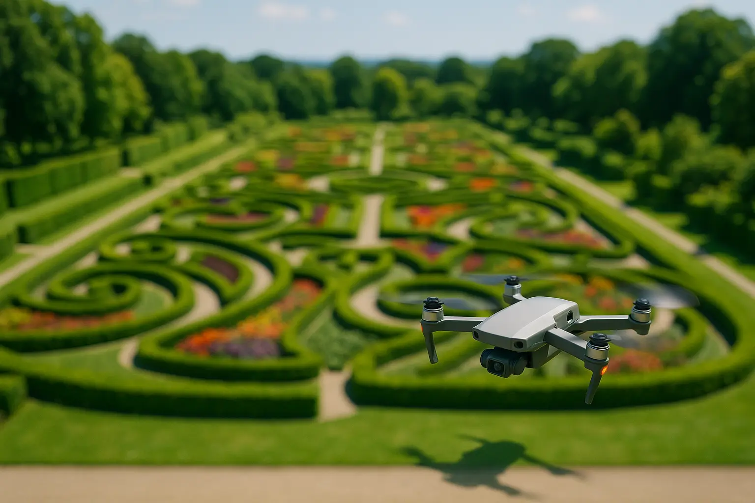
Raw drone footage becomes genuinely useful once it is processed into 3D models and topographical maps, which planners use directly for irrigation layout, drainage system design, and plant placement decisions. This processing step, not the flight itself, is often where the real value sits: a folder of aerial photos is interesting, but a georeferenced elevation map that plugs into design software is what actually changes how a project gets planned.
This is also where drone data increasingly overlaps with 3D landscape design software, since many platforms now accept drone-captured topographical data as a direct input rather than requiring a separate manual survey.
What it actually costs a landscaping business to add drone inspection
A capable mapping drone with a multispectral sensor represents a meaningful upfront cost, though prices have dropped considerably as the broader agriculture drone market has matured, a market valued at several billion dollars in 2025 and forecast to keep growing at a double-digit annual rate through the early 2030s across every major research firm tracking it. For a landscaping business, the decision usually comes down to how many large or recurring sites are in the portfolio: a company managing a handful of small residential gardens gets little return from the investment, while one managing several commercial campuses or estate-scale properties can recover the cost quickly in reduced inspection labor alone.
Some companies avoid the purchase decision entirely by contracting a drone survey out to a specialized operator for periodic mapping projects rather than buying equipment and training staff in-house. This tends to make sense for businesses that need aerial data only a few times a year, while frequent, ongoing monitoring, tracking irrigation performance across a growing season, for example, favors owning the equipment outright rather than repeatedly paying for a one-off contracted flight and the reporting delay that comes with it.
The legal side operators cannot skip
Drone operation for professional use is subject to aviation regulation in essentially every jurisdiction, typically including drone registration, a requirement to maintain visual line of sight, and restrictions around flying near airports or other controlled airspace. Rules differ meaningfully by country, and in some regions by region or municipality, so professional operators need to confirm current local requirements rather than assume the rules seen in marketing material for a given drone model apply universally.
FAQ
Do landscaping companies need a special license to operate drones commercially?
In most countries, yes, commercial drone operation requires registration and often a certification distinct from recreational use. Requirements vary by jurisdiction and should be checked with the relevant national aviation authority before flying.
Can drones detect problems that are not yet visible to a ground inspection?
Multispectral and thermal sensors can flag early plant stress or irrigation issues before visible symptoms appear at ground level, which is one of the more genuinely useful capabilities beyond simple aerial photography.
How large does a property need to be before drone inspection becomes worthwhile?
There is no fixed threshold, but the time savings become most apparent on larger commercial properties or multi-acre estates, where a manual walk-through would otherwise take hours.
What skills does an operator need beyond flying the drone itself?
Understanding how to process and interpret the captured data, mapping software, image analysis, is arguably more valuable long-term than piloting skill alone, since the flight itself is increasingly automated.
Is it better to buy a drone or hire an outside operator for occasional site surveys?
For infrequent, one-off mapping needs, contracting a specialized operator is usually more cost-effective. Businesses that need regular, ongoing monitoring across a growing season typically see a faster return from owning the equipment directly.
Drones have earned a genuine working role in landscaping inspection and mapping, backed by measurable time savings and data that a ground survey cannot easily replicate. The technology pairs naturally with other planning tools, particularly 3D visualization software used to plan the same projects, and on active construction sites it increasingly works alongside the navigation systems guiding autonomous site machinery that rely on similar mapping data to operate safely.
Sources: MarketsandMarkets, Grand View Research, Fortune Business Insights, agriculture drone market reports (2025-2033).
Last updated: July 29, 2026.